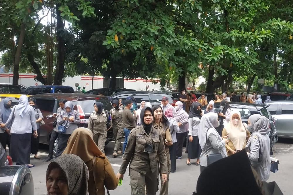

Indonesia lifted a tsunami alert Tuesday following a magnitude 7.3 undersea earthquake that struck off Flores Island, triggering panic in a region prone to fatal quakes but apparently causing no major damage or casualties.
According to the U.S. Geological Survey, the quake hit at a depth of 18.5 kilometers (11.5 miles) under the sea and was located 112 kilometers (74 miles) north of the town of Maumere, the second-largest on the island in East Nusa Tenggara province with a population of 85,000.
After an initial tsunami alert, the Pacific Tsunami Warning Center in Hawaii and later Indonesia’s meteorological agency lifted the warning hours after the quake.
National Disaster Mitigation Agency spokesperson Abdul Muhari said residents in the East Flores district felt the earthquake strongly. Footage showed people running away from buildings that shook from the impact.
One person was reported injured in East Nusa Tenggara province.
The shocks were also felt in Makassar city and Selayar Islands district in South Sulawesi province, across the Flores Sea. The disaster mitigation agency reported a school was damaged in the Selayar Islands.
Muhari said that based on sea-level observations, minor tsunamis of 7 centimeters (2.8 inches) were detected in Marapokot and Reo areas.
Dwikorita Karnawati, head of Indonesia’s Meteorology, Climatology, and Geophysical Agency, said people along the coastlines on the northern side of Flores should be aware of further quakes and a potential tsunami.
“The earlier earthquake no longer has a tsunami potential. But it is very possible there’ll be aftershocks, hopefully not stronger than before,” Karnawati said.
The chief of Flores Timur district, Anton Hayon, said no damage was reported.
“We asked people in the coastal areas to get away from the beach lines, especially in the northern side … as there was a big tsunami there back in 1972,” Hayon said.
He added that residents had joined a tsunami drill before and they know what to do.
Indonesia, a vast archipelago of 270 million people, is frequently struck by earthquakes, volcanic eruptions, and tsunamis because of its location on the “Ring of Fire,” an arc of volcanoes and fault lines that arcs the Pacific.
The last major earthquake was in January, a magnitude 6.2 that killed at least 105 people and injured nearly 6,500 in West Sulawesi province.